
About Start For IT
Geospatial capability connected to practical decisions.
Start For IT works across geospatial data, analysis, systems and applications to support clear, usable spatial information.
Discuss a ProjectWho we are
Start For IT has worked in geospatial and information technology since 2005.
Start For IT was established in January 2005 under Egyptian investment law to work in the Information Technology and GIS sector.
Today, Start For IT’s scope connects GIS, Earth observation, remote sensing, surveying, spatial technologies and geospatial applications. The purpose is to organize data and analysis into maps, systems and tools that support practical decisions.
What we do
End-to-end geospatial capability.
Start For IT is not limited to one isolated GIS service. Workflows may connect multiple stages according to the verified requirement.
- Data
- Acquisition
- Processing
- Analysis
- Database & Application
- Decision Support
Core capabilities
Geospatial work across eight commercial families.
Each capability connects geospatial data, methods and delivery around practical client requirements.
Satellite Imagery & Earth Observation
Imagery search, sourcing and preparation for mapping, monitoring and analysis.
Remote Sensing Processing & Analysis
Image preparation, indices, classification and time-based analytical workflows.
Digital Mapping & Base Maps
Structured maps, vector layers and geographic reference information.
GIS Systems & Spatial Analysis
Spatial data, geodatabases, analysis, portals and decision-support workflows.
Surveying
Land and topographic field workflows connected to mapped deliverables.
Advanced Spatial Capture & Utilities
3D scanning, GeoSLAM, point clouds and underground utility detection.
Web & Mobile Applications
Interactive maps, dashboards and geospatial application workflows.
Location Intelligence & GeoMarketing
Site, route, suitability and geographic decision-support studies.
Geospatial Lab — Data & Tools
A separate environment for working geospatial resources.
The Start For IT Geospatial Lab provides direct access to established imagery and remote-sensing resources.
How we work
A requirement-led geospatial approach.
Methods and outputs should follow the real geographic question rather than a fixed template.
Understand the requirement
Clarify the geography, users, inputs, decisions and required deliverables.
Structure the workflow
Select suitable data, acquisition, processing, analysis and system components.
Deliver usable outputs
Organize results as maps, datasets, applications or decision-support information.
Geospatial work in context
Data becomes useful when it can be seen and understood.
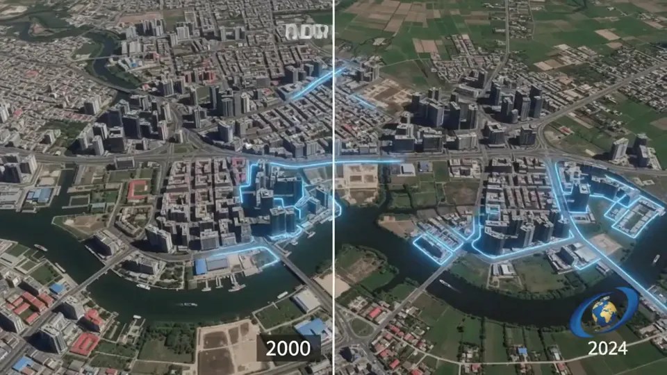
Start For IT works across imagery, mapping, spatial data and field-capture contexts where geographic information supports practical decisions.


Why Start For IT
Experience connected to a broad geospatial scope.
Start For IT was established in January 2005 under Egyptian investment law.
Work can connect data, imagery, mapping, GIS, surveying and applications.
The intended result is usable spatial information, systems and decision support.
Connect with Start For IT