Skip to content
Image Slide 1
Cheops Pyramid, Cairo, Egypt (30cm)
Image Slide 1
Saudi Arabia (60cm)
Image Slide 1
New Administrative Capital, CAIRO
Image Slide 1
Agriculture, Egypt
Image Slide 1
Alexandria Port, Egypt (10m)
stadium
previous arrowprevious arrow
next arrownext arrow
Shadow

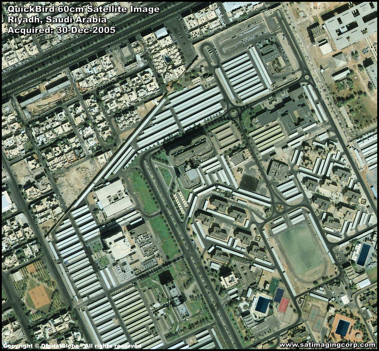
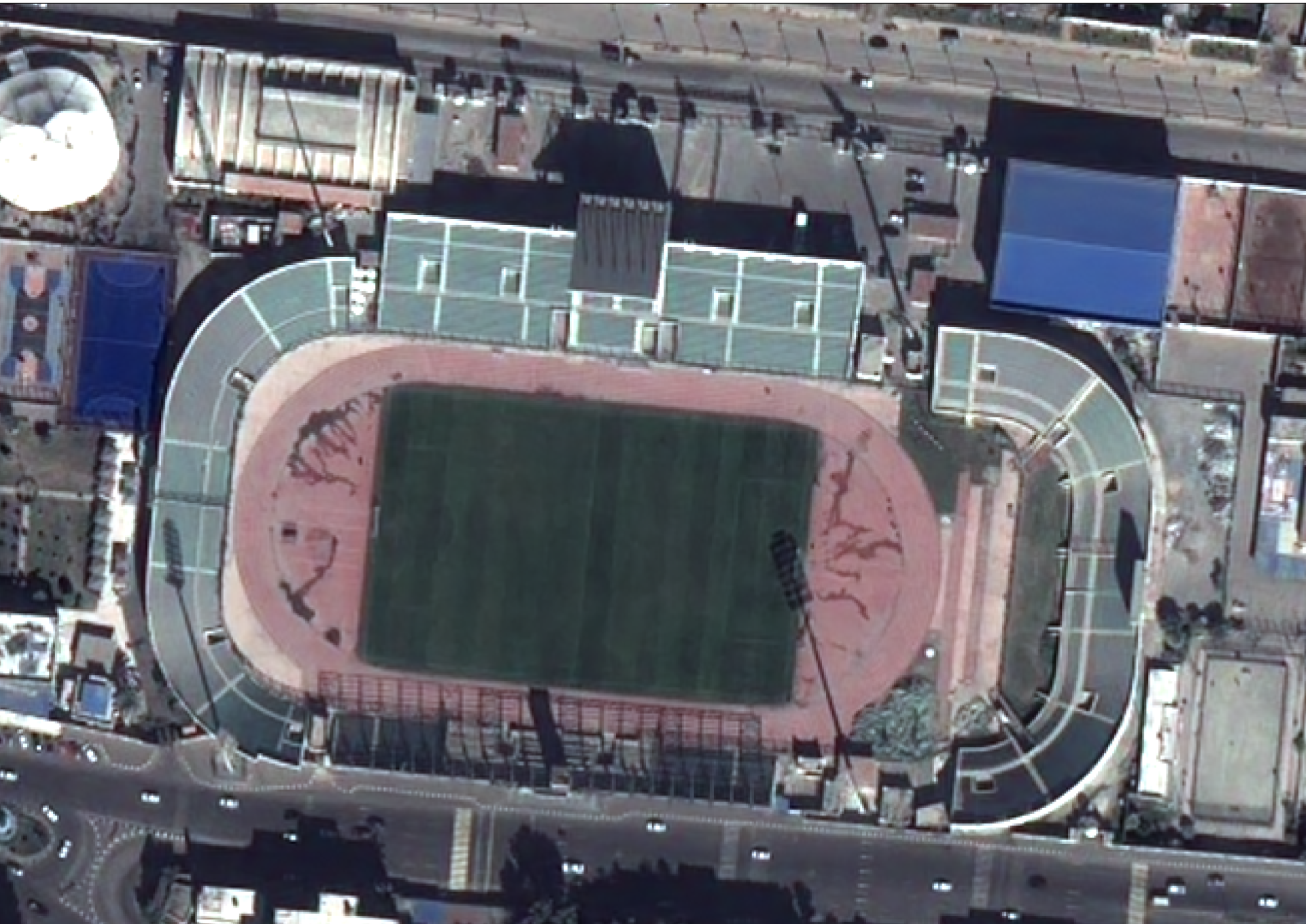
What exactly does Very high resolution imagery (VHR) really mean? While the term is used frequently, it is rarely defined. Here at Start for IT, we define high resolution imagery as having 1 meter (m) or better resolution. For most high resolution sensors, the panchromatic (or black and white) band has 1-meter or better resolution. If the sensor collects multispectral (or red, green, blue, etc.) data simultaneously, which is more common than not, these images have a resolution which is two or four times that of the panchromatic band.

What exactly does medium resolution imagery really mean? While the term is used frequently, it is rarely defined. Here at Start for IT, we define medium resolution imagery to have 1-meter (m) to 10-m resolution. Many medium resolution satellites however feature a wide variety of spectral bands with varying resolutions that may or may not meet this threshold. More information on the technical specifications of the medium resolution satellites we work with can be found on the individual pages linked in the table below.

Far far away, behind the word mountains, far from the countries Vokalia and Consonantia, there live the blind texts. Separated they live in Bookmarksgrove right at the coast

How long will it take to receive my imagery?

We get this question all the time. The answer is that it depends on a few variables, but one of the main factors is whether we will have to find your imagery in an archive or if we will have to place a tasking order.

ARCHIVE ORDER

An archive order relies on a historic database of medium resolution imagery with a specific time/date stamp and known cloud cover. Clients are able to browse available data with the assistance of our team to determine the best imagery for their intended applications.

VS

TASKING ORDER

A tasking order is an on-demand service whereby clients define a custom polygon on the planet to be imaged by the next available medium resolution satellite. The time to collect this area of interest is controlled by local weather conditions and competition from surrounding tasking orders.